

Scientists are working at a seismic study, to 3-D map Earth’s interior, that will be ready at the end of the year.
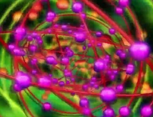
Above: Using a technique that is similar to a medical CT (“CAT”) scan, researchers at Princeton are using seismic waves from earthquakes to create images of the Earth’s subterranean structures. Image courtesy of Ebru Bozdağ, University of Nice Sophia Antipolis, and David Pugmire, Oak Ridge National Laboratory
Princeton geosciences professor Jeroen Tromp and his team are working on an ambitious project to use earthquakes to map the Earth’s entire mantle, the semisolid rock that stretches to a depth of 1,800 miles, about halfway down to the planet’s center and about 300 times deeper than humans have drilled.
For the task, his team will use one of the world’s fastest supercomputers, Titan, which can do more than 20 quadrillion calculations per second and is located at the Department of Energy’s Oak Ridge National Laboratory in Tennessee.
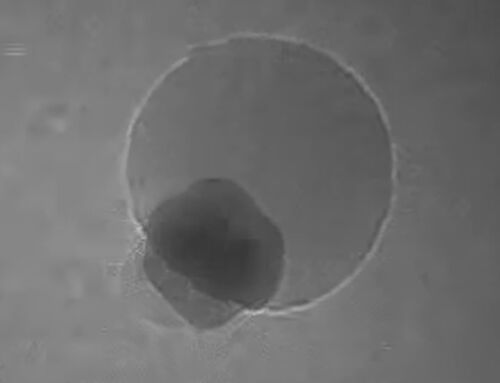
 Computer simulations use the speed of seismic waves from earthquakes to show the existence of subterranean structures. Image courtesy of Ebru Bozdağ, University of Nice Sophia Antipolis, and David Pugmire, Oak Ridge National Laboratory
This technique is called seismic tomography and is analogous to computerized tomography used in medical (“CAT”) scans, where a scanner captures a series of X-ray images from different viewpoints, creating cross-sectional images that can be joined into 3-D images.
Jeroen Tromp, who earned his Ph.D. in geology from Princeton and is Princeton’s Blair Professor of Geology, professor of applied and computational mathematics, and associate director of the Princeton Institute for Computational Science and Engineering, said:
“Seismology is changing at a fundamental level due to advances in computing power. If someone had told me what seismology would look like 20 years from when I graduated from Princeton in 1992, I would have never believed it.
The ultimate goal is a 3-D map on a global scale. We are specifically interested in the structure of mantle upwelling and plumes, but much of it will be investigating the images for unusual features.”
 This three-dimensional image displays contours of locations where seismic wave speeds are faster than average. Image courtesy of Ebru Bozdağ, University of Nice Sophia Antipolis, and David Pugmire, Oak Ridge National Laboratory
via gizmodo
source Princeton


Leave A Comment