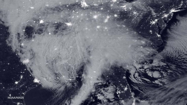
An image of the blizzard approaching the U.S. East coast, snapped NASA-NOAA’s Suomi NPP satellite, around 2:35 a.m. EST on Jan. 22, 2016.
The image was captured using the Visible Infrared Imaging Radiometer Suite (VIIRS) instrument’s Day-Night band.
Image Credit: NOAA/NASA
source NASA


Leave A Comment