These stunning images of Earth, are the first ones from America’s newest weather satellite, and they could make predictions much more accurate.
Launched on Nov 19, NOAA’s new GOES-16 satellite, send these spectacular images of our planet.
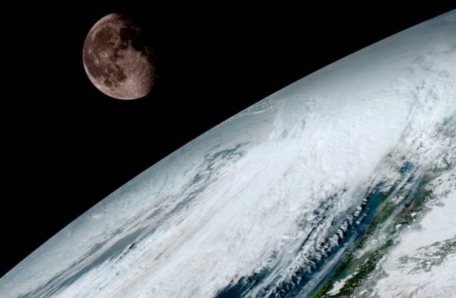
Above, GOES-16 (previously known as GOES-R) captured this view of the moon as it looked across the surface of the Earth on January 15, 2017. Like earlier GOES satellites, GOES-16 will use the moon for calibration. Credit: NOAA/NASA
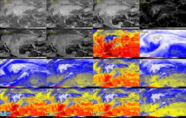
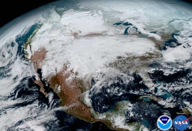
GOES-16 observes Earth from an equatorial view approximately 22,300 miles high, creating full disk images like these, extending from the coast of West Africa, to Guam, and everything in between. Credit: NOAA/NASA
Stephen Volz, PhD, NOAA’s assistant administrator for Satellite and Information Services, siad:
“Seeing these first images from GOES-16 is a foundational moment for the team of scientists and engineers who worked to bring the satellite to launch and are now poised to explore new weather forecasting possibilities with this data and imagery.
The incredibly sharp images are everything we hoped for based on our tests before launch.
We look forward to exploiting these new images, along with our partners in the meteorology community to make the most of this fantastic new satellite.”
Credit: NOAA/NASA
via universetoday
source NOAA



Leave A Comment