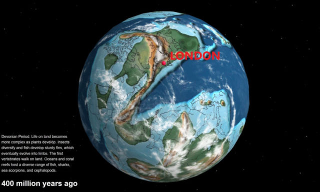
Take a look at this interactive map showing how Earth was shaped and where your town was 750 million years ago.
This interactive map created by a California paleontologist, allows people to see how far a town have moved over 750 million years ago.
The map features palaeogeographic maps developed for the PALEOMAPS project, led by geologist and palaeogeographer Christopher Scotese:
“I’m amazed that geologists collected enough data to actually plot my home 750 million years ago, so I thought you all would enjoy it too.
Even though plate tectonic models return precise results, you should consider the plots approximate (obviously we will never be able to prove correctness). In my tests I found that model results can vary significantly. I chose this particular model because it is widely cited and covers the greatest length of time.”
source dinosaurpictures


Leave A Comment