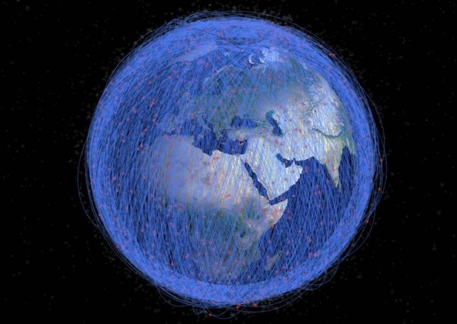
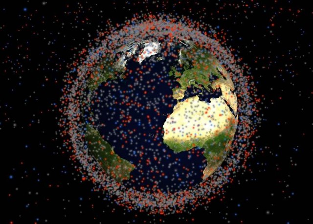
Stuff in Space is a realtime 3D map of objects in Earth orbit, visualized using WebGL.
Stuff in Space updates daily with orbit data from Space-Track.org (US Department of Defense), to calculate satellite positions.
James Yoder of Stuff in Space, an alum of FIRST Robotics, the high school robotics competition, explains to Gizmodo:
“Using those orbital parameters, stuffin.space uses a propagation model to predict the location of every satellite in real time, with an accuracy of within a few kilometers, and displays the data using a WebGL visualization with an accurate view of the Earth’s rotation and sunlight angle.”
via Gizmodo
source stuffin.space



Leave A Comment