NASA on September 15, will launch a laser satellite to scan Earth’s ice sheets, in amazing accuracy.
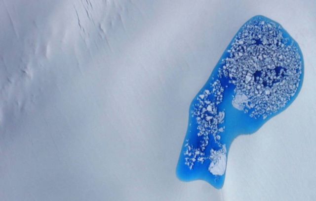
The laser on ICESat-2 will measure the height of ice and its features, such as glacial melt pond, down to the width of a pencil.
Above, a glacial melt pond photographed July 16, 2014, over Alaska. Credit NASA
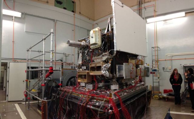
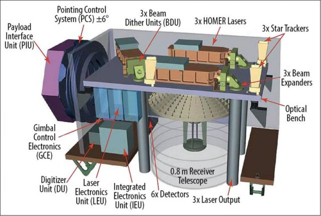
The Global Ecosystem Dynamics Investigation (GEDI) produces high resolution laser ranging observations of the 3D structure of the Earth. GEDI’s precise measurements of forest canopy height, canopy vertical structure, and surface elevation greatly advance our ability to characterize important carbon and water cycling processes, biodiversity, and habitat.
Credit GEDI
GEDI’s data on surface structure are also of immense value for weather forecasting, forest management, glacier and snowpack monitoring, and the generation of more accurate digital elevation models. GEDI provides the missing piece – 3D structure – in NASA’s observational assets which enables us to better understand how the Earth behaves as a system, and guides the actions we can take to sustain critical resources.
Credit GEDI


Leave A Comment