

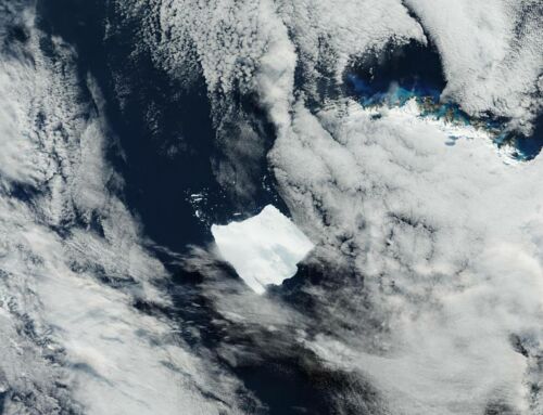
The ozone hole over Antarctica grew relatively large in 2015. On October 2, 2015, the hole had reached its largest single-day area for the year.
![]()
The image above based on data acquired by the Ozone Monitoring Instrument (OMI) on NASA’s Aura satellite and the Ozone Monitoring and Profiler Suite (OMPS) on the NASA-NOAA Suomi NPP satellite, shows the hole on that day. Credit: Ozone Hole Watch. Caption by Kathryn Hansen.
It spanned 28.2 million square kilometers (10.9 million square miles)—the fourth-largest area measured since the start of the satellite record in 1979. The largest single-day ozone hole recorded by satellite was 29.9 million square kilometers (11.5 million square miles) on September 9, 2000.
The ozone “hole” is not literally a hole; rather, the phenomenon is defined as the area where the concentration of ozone drops below the historical threshold of 220 Dobson Units. In the image above, those areas are purple and blue.
The ozone depletion phenomenon is seasonal, starting each year during the Antarctic spring and peaking between mid-September and early October. In 2015, the hole started slowly but then quickly expanded to cover a large area. The average size in September–October 2015 was 25.6 million square kilometers (9.9 million square miles)—also the fourth largest since the start of the satellite record. The largest September–October average on record was 26.6 million square kilometers (10.3 million square miles) in 2006.
Read more at earthobservatory


Leave A Comment