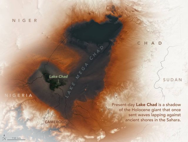
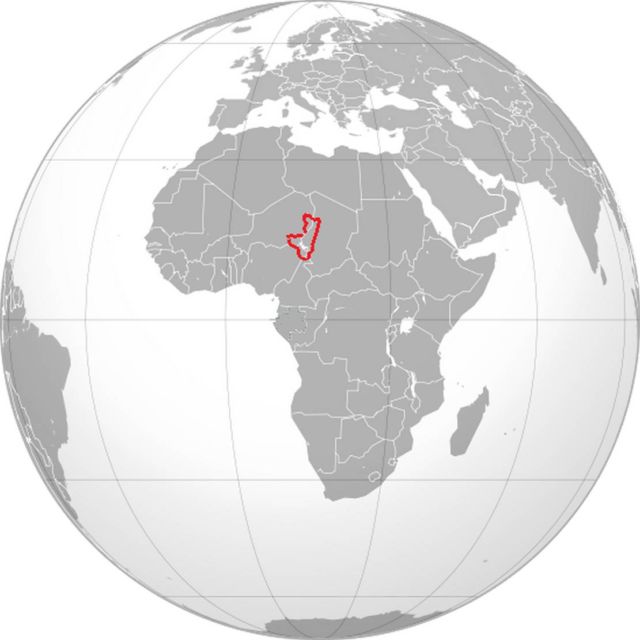
About 7,000 years ago, a vast lake spread hundreds of square kilometers across north-central Africa, the biggest lake on Earth today.
Known to scientists as Lake Mega Chad, it covered more than 400,000 square kilometers (150,000 square miles) at its peak, making it slightly larger than the Caspian Sea.
Modern Lake Chad has shrunk to just a fraction of its former size, but evidence of the lake’s ancient shorelines is still etched into desert landscapes — hundreds of kilometers from the shores of the modern lake.
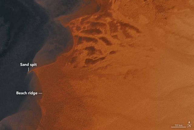
Elevation data from the Shuttle Radar Topography Mission (SRTM) reveals the former shorelines of the lake. In the map above, lower-elevation areas appear darker. An image from the Operational Land Imager (OLI) on Landsat 8 marks the location of the present-day lake. The elevation data highlights sand spits and beach ridges that formed along Lake Mega Chad’s northeastern shores.
Sand spits generally form along coves and estuaries as prevailing winds drive currents that transport sand and other sediments along the shore. In the era of Lake Mega Chad (and today), winds blew from the northeast, which caused the spit to grow toward the southwest.
NASA Earth Observatory images by Joshua Stevens. using topographic data from the Shuttle Radar Topography Mission (SRTM) and Landsat data from the U.S. Geological Survey. Story by Adam Voiland.
source earthobservatory


Leave A Comment