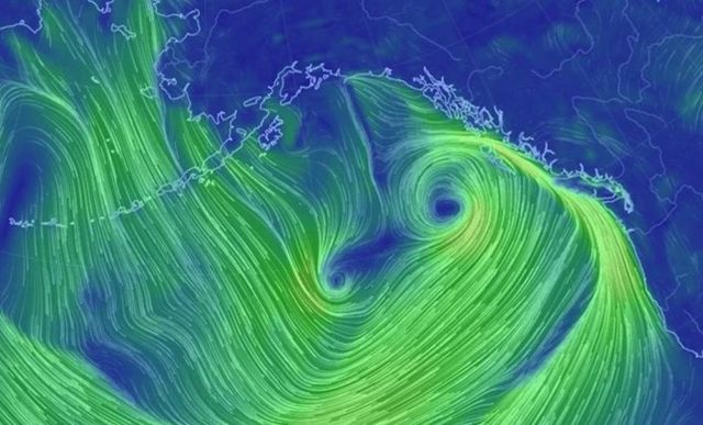
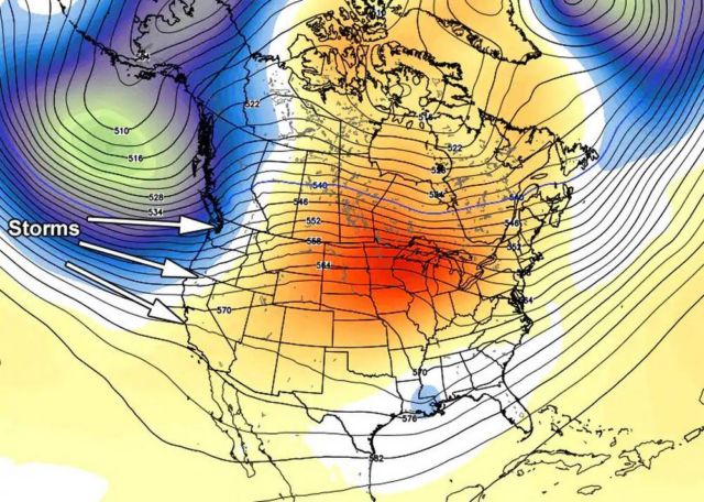
Very large extratropical cyclone in the northeastern Pacific, driving rain and mountain snow into Washington/Oregon.
Northern California and the San Francisco Bay area, should end up with the worst of these pounding, and on Monday waves could reach the 25- to 40-foot (8- to 12-metre) range.
Still prelim non-operational #GOES17 imagery past 24 hours pic.twitter.com/dJOCQIcOc9
— William Churchill (@kudrios) December 15, 2018
Current check on the buoys continues to show a long period swell impacting the waters. ⚠️ HIGH SURF WARNING ⚠️ goes through 9 PM along the coast. DO NOT APPROACH THE SHORELINE TODAY — breakers of 30-40 feet 🌊🌊 possible through the day, even higher at favored locations! #CAwx pic.twitter.com/D9SuB2pCAV
— NWS Bay Area (@NWSBayArea) December 17, 2018


Leave A Comment